DRONE Services
Aerial Imaging and Data Collection
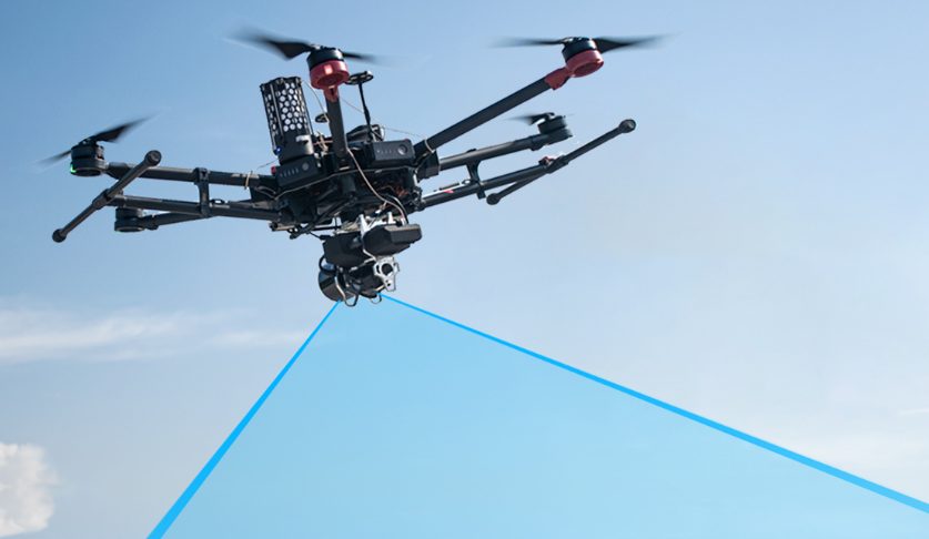
From construction drone services to tower inspections, our operations division offers FAA certified and insured drone pilots for all of your aerial needs nationwide. We utilize the newest and most advanced drone technology and software platforms for accurate aerial data capture, videos for marketing and insurance and other imaging projects.
Aerial LiDAR Data Collection
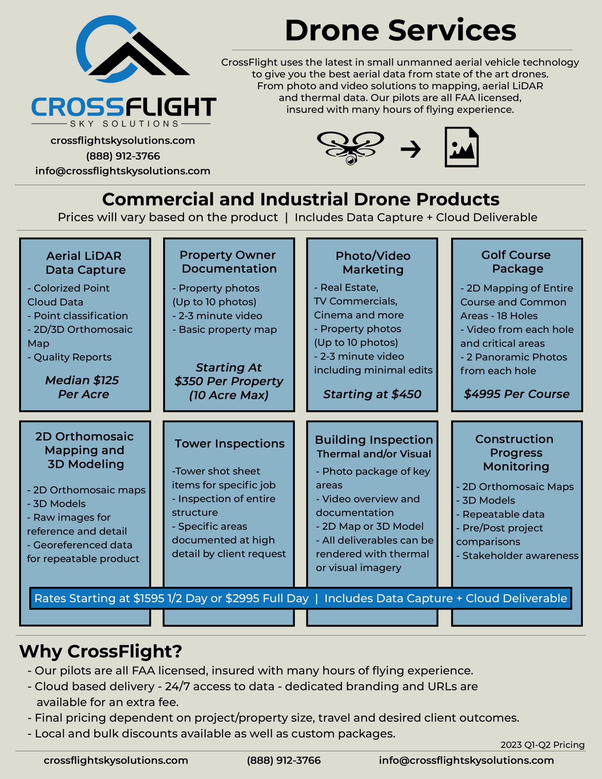
CrossFlight Sky Solutions offers competitive pricing on a wide array of Aerial LiDAR Data Collection products. Aerial LiDAR is the latest in large area data collection and can offer significant time savings over traditional location, volumetric and topographic data collection for use by surveyors and licensed professionals.
Construction Progress Monitoring
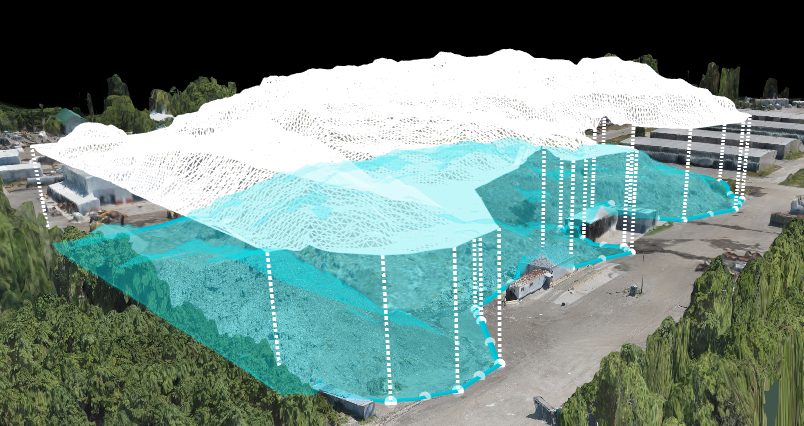
Construction progress monitoring is critical data that keep both managers and investors informed that a project is on schedule and within budget. Drones are the perfect tool to reliably and cost efficiently capture all that is happening on the ground and spotting what may be overlooked. CrossFlight's licensed and insured pilots have already saved our clients ten of thousands of dollars in overcharges garnering credibility for project managers adding to profitability.
Use the slider in the middle of the window to pan between the two different iterations.
Aerial Image Capture and 3D Modeling
CrossFlight to provides precise aerial data collection for use by licensed professionals on a wide variety of projects.
Tower Inspections
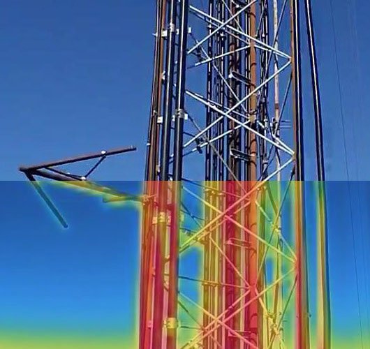
CrossFlight's drone tower inspection acts as a complete documentation and evaluation of your tower. CrossFlight provides ultra high definition video and imagery of the site and identify areas of maintenance before a technician has to climb the tower for an inspection. Our aerial inspection process saves time, money and reduce human risk.
DOT Compliant Roadway Documentation
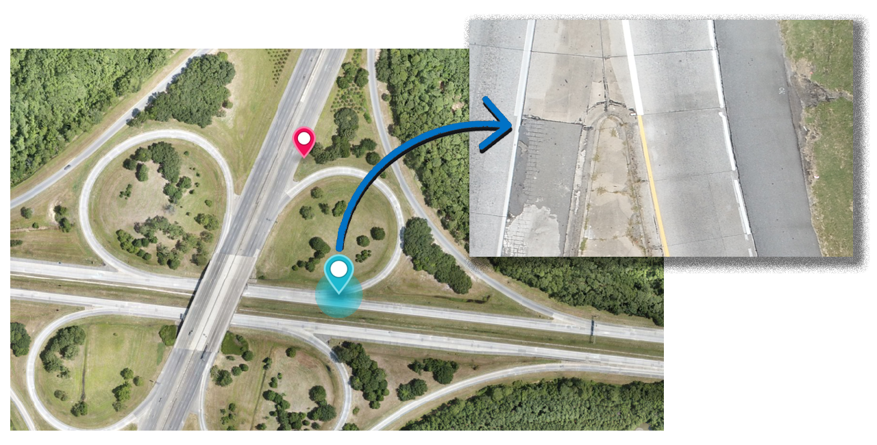
CrossFlight Sky Solutions provides our clients with high precision mapping and imagery of roadway and infrastructure projects with the use of drones. This imagery can serve as Department of Transportation (DOT) progress monitoring images.
Photo and Video Marketing Solutions
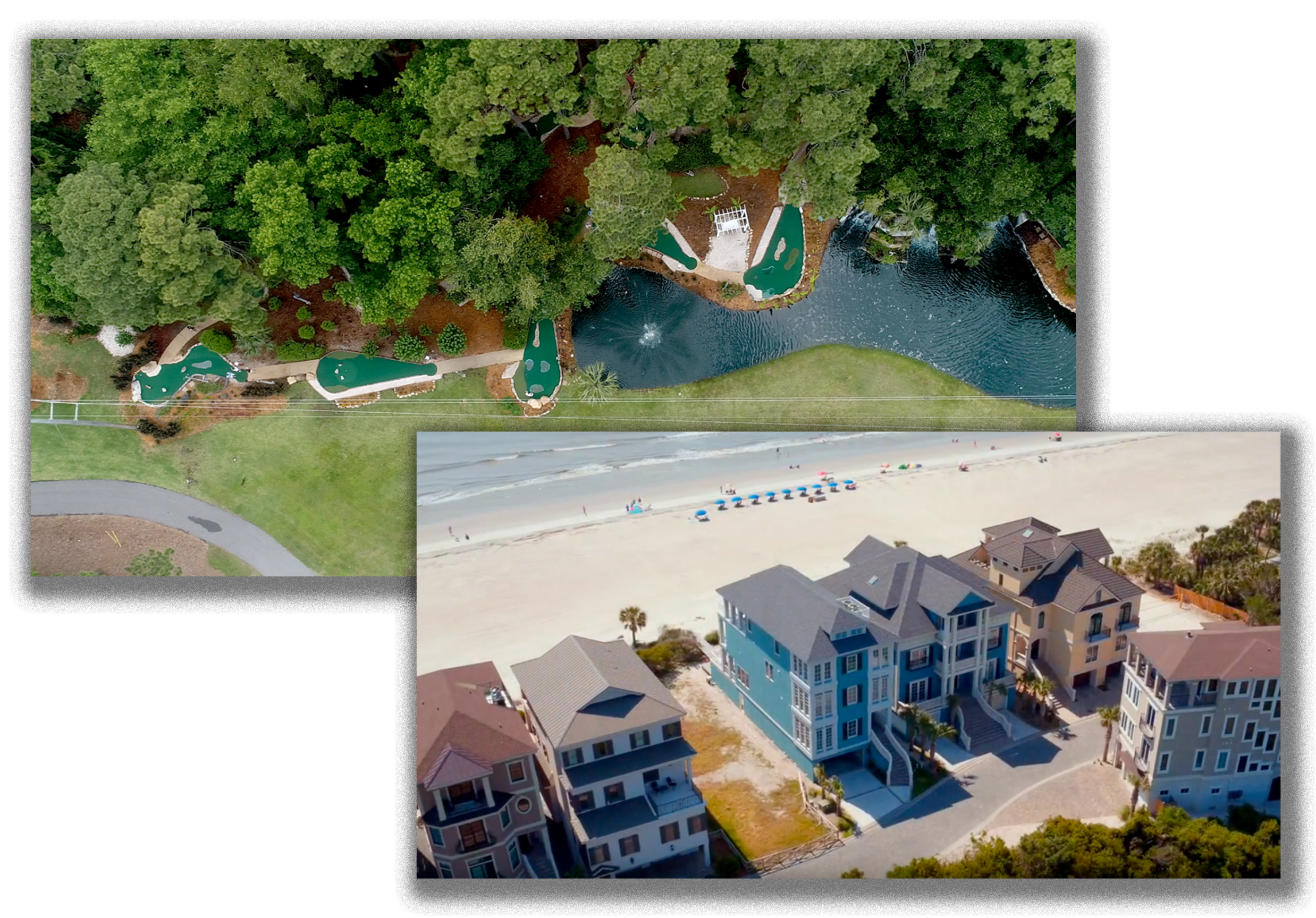
Take your promotional and marketing materials higher with our proven cutting edge aerial photography and videography services. CrossFlight's fully insured and FAA Certified pilots will capture the essence of your subject and render captivating 4K video, 360 degree panographic or still photographs for use in any one of your promotional materials.
Golf Course Documentation
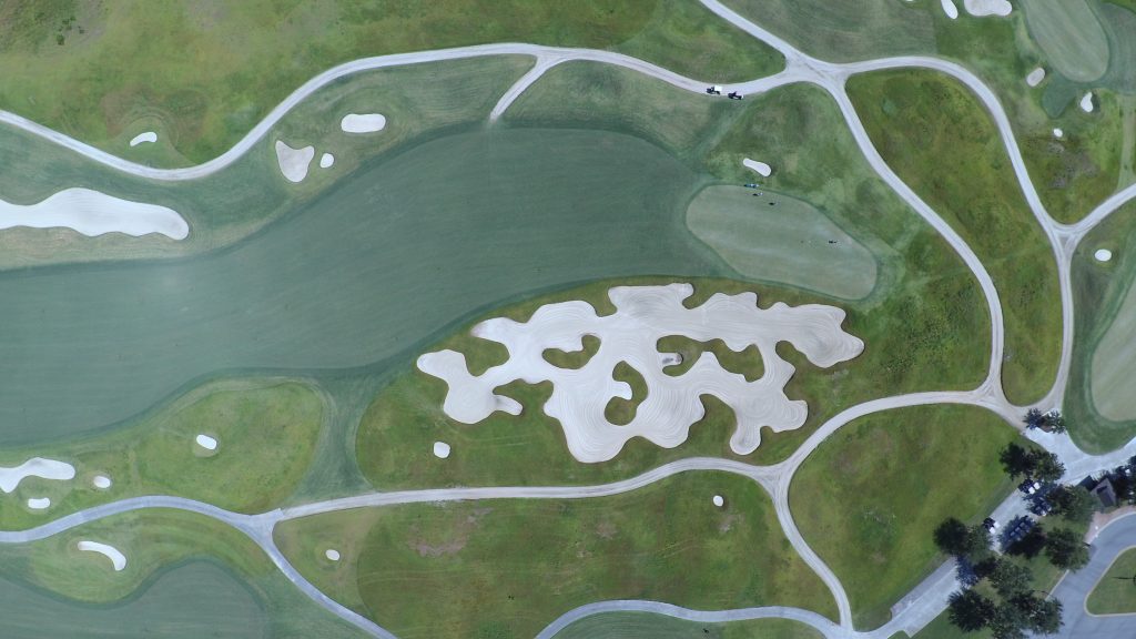
CrossFlight provides highly detailed maps of your entire course! This can serve as an interactive map for your golfers providing accurate elevation and distance measurements. Additionally. we can provide plant health evaluations and 3D models of buildings so you can better maintain your course.
Home Owner or Community Documentation
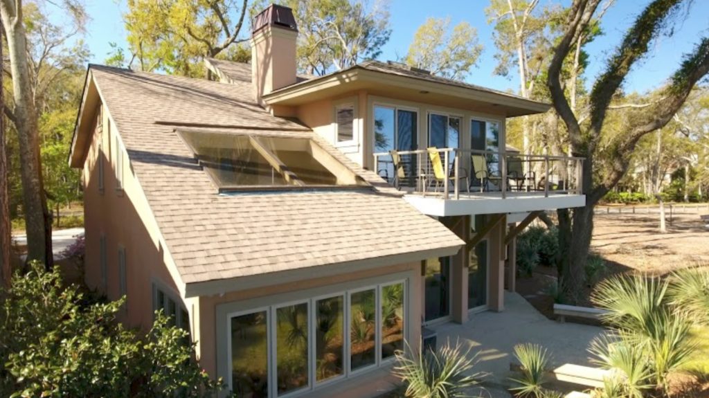
Plan ahead and document your biggest investment. CrossFlight's fully insured and FAA Certified pilots will capture and catalog your property using 4K video, 360 degree panoramic or still photographs for use by insurance adjustors or for your peace of mind. Prices start at less than $200.
CONTACT US FOR A QUOTE OR QUESTION
Start Elevating Your Perspective Today
CrossFlight Sky Solutions LLC
25 Thurmond Way
#3456
Bluffton, SC 29910
(888) 912-3766
Info@Crossflightskysolutions.Com

UEID: XFX2LH543163
CAGE CODE: 7XUU8
NAICS CODES: 541130, 541370, 54690, 541922, 611699, 611710
Copyright - CrossFlight Sky Solutions - All Rights Reserved
