Department of Transportation (DOT) Compliant Documentation
CrossFlight Sky Solutions can provide high precision mapping and imagery of roadway and infrastructure projects with the use of drones. This imagery can serve as Department of Transportation (DOT) progress monitoring images.
Photomosaic Mapping
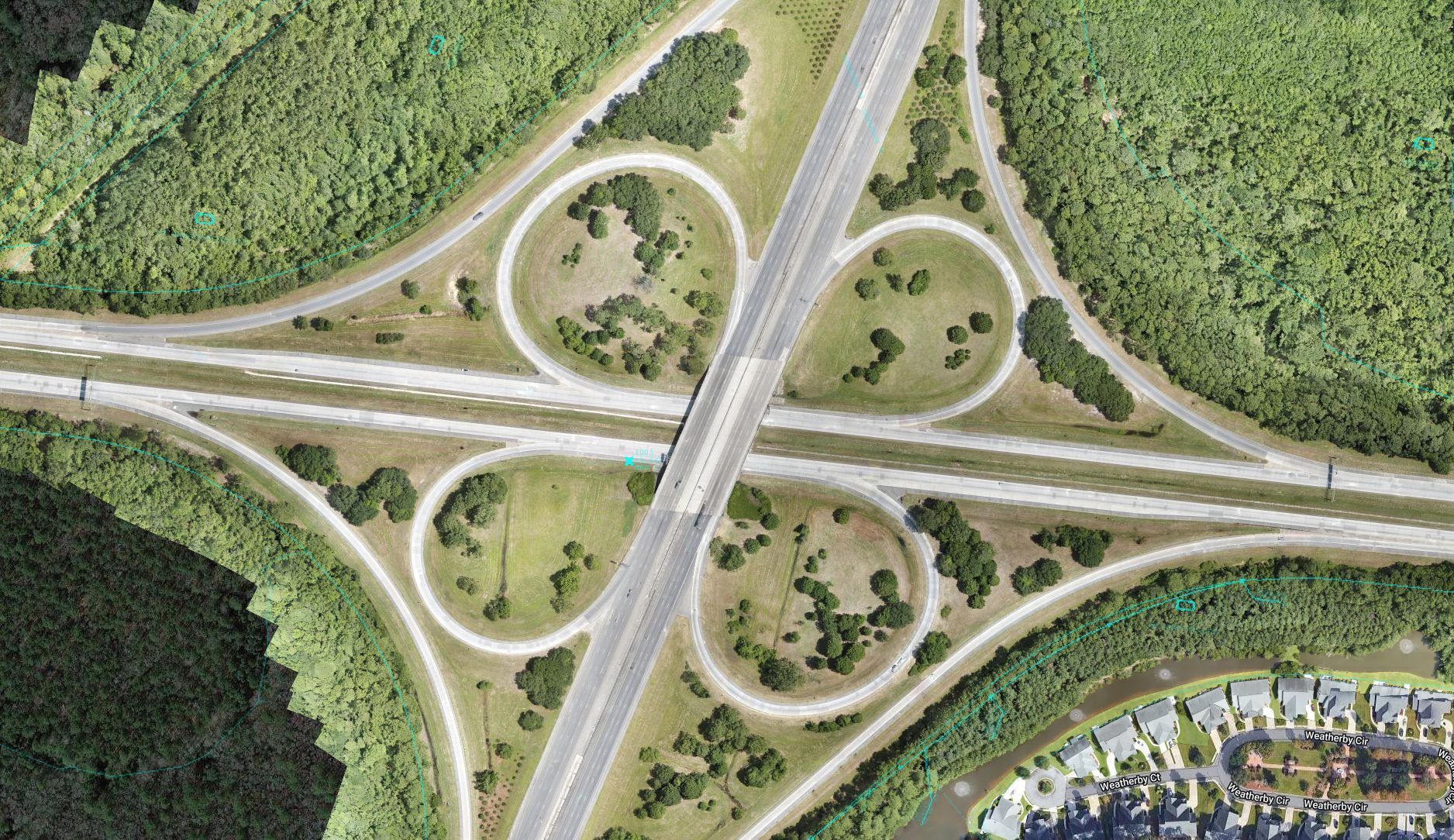
Our most popular and useful product, photomosaic mapping can be used to accurately map the entirety of a jobsite. This can be repeated as often as needed to report on the progress of a project.
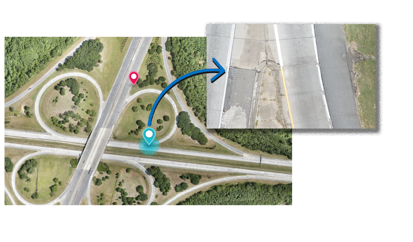
Below is a small sample of how our maps can show very accurate roadway surfaces.
Click on the image or here to view the interactive site map.
GPS Marked Panoramic Images
All of our imagery is marked using GPS locations to allow for repeatable images and video in the same spot. Our panoramic images can be taken from a variety of locations and elevations to show road surface state, material locations, signage locations, and other noteworthy locations.
Identification of POIs & Hazards
GPS markings of images, hazards, signage, and other points of interest can be marked for later review. This can prevent accidents and insure that signage remains in the proper location throughout the entirety of the project.
Video Overview & Video Plan
Mile Marker 158 on I-16
Ultra High Definition (HD) Video can be taken along the roadway at multiple angles and synced so that you can document the condition of the roadway and identify hazards or defects.
Video and Panoramic Photographs can be complied and labeled as needed based on contract. It is recommended that these be done at a minimum of every half mile and additional as needed at points of interest such as interchanges.
Front View
Rear View
Left View
Right View
Photos
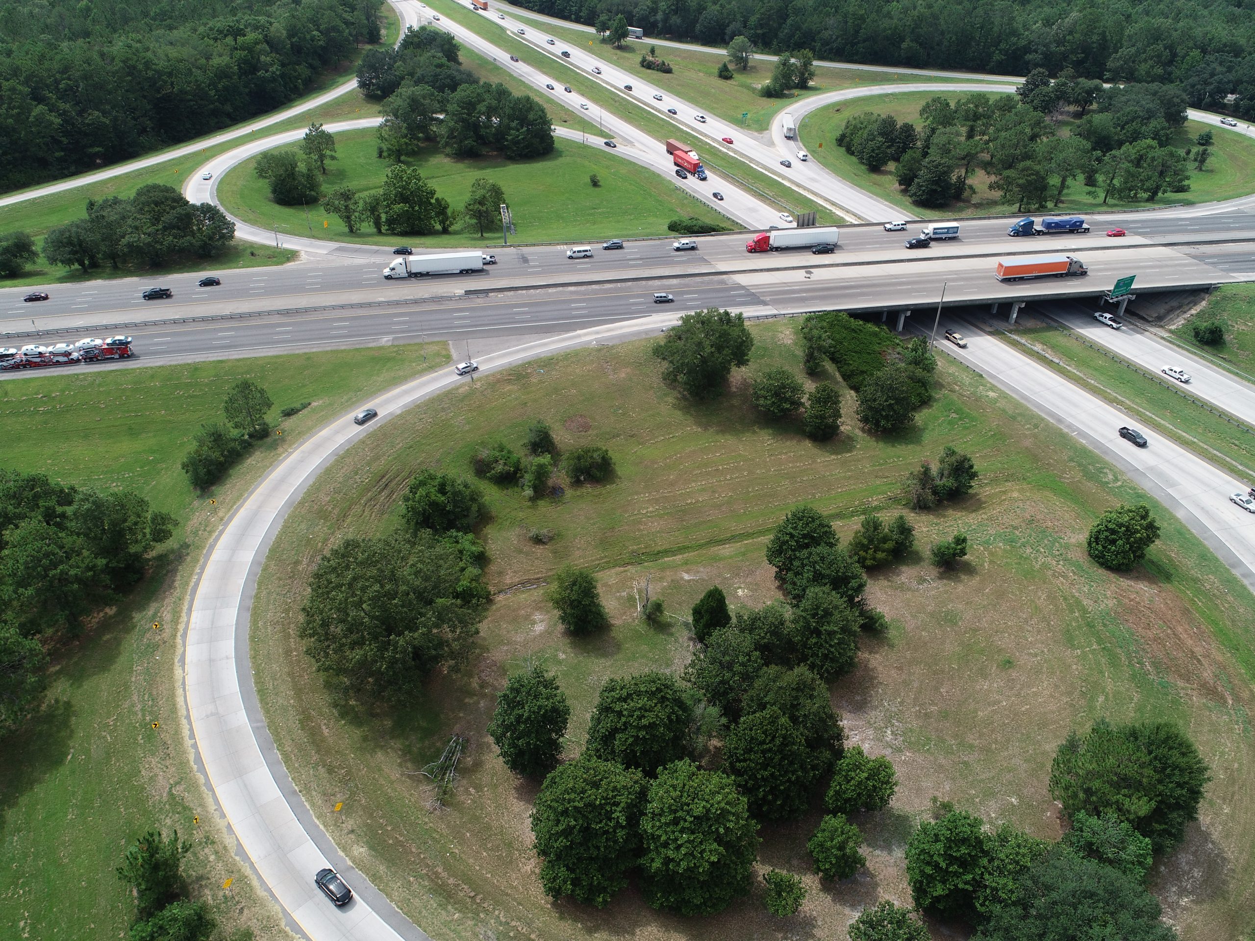
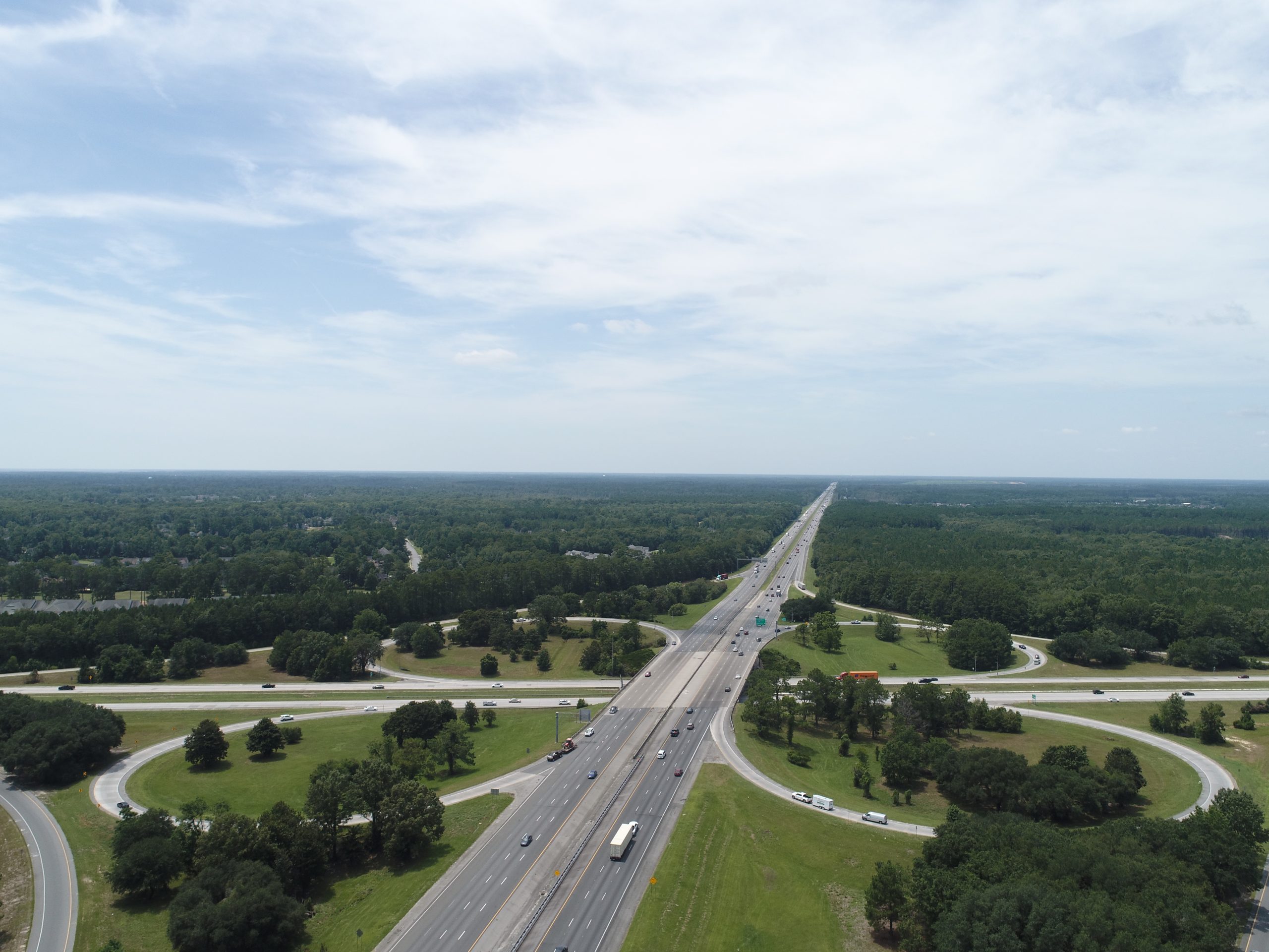
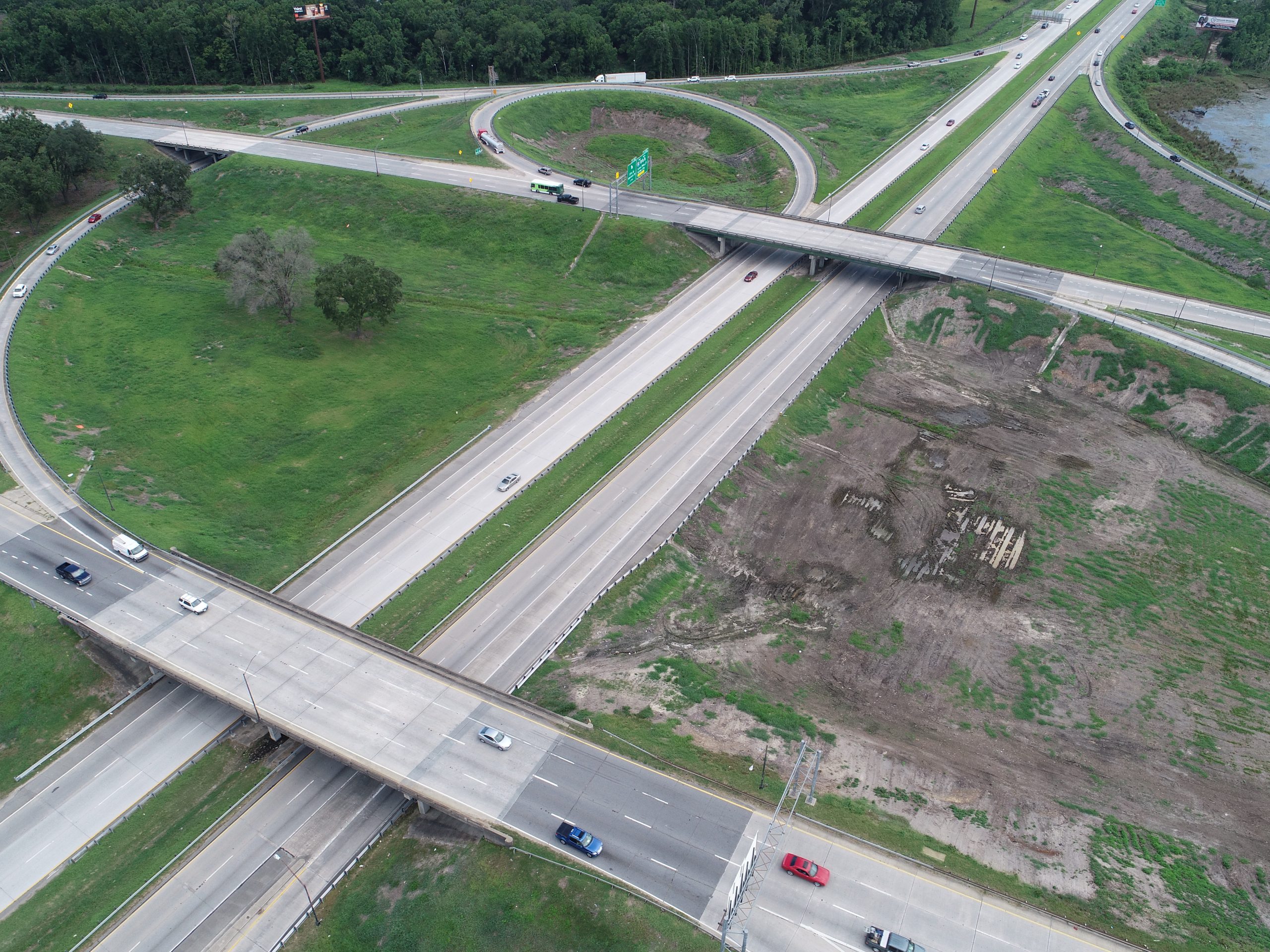
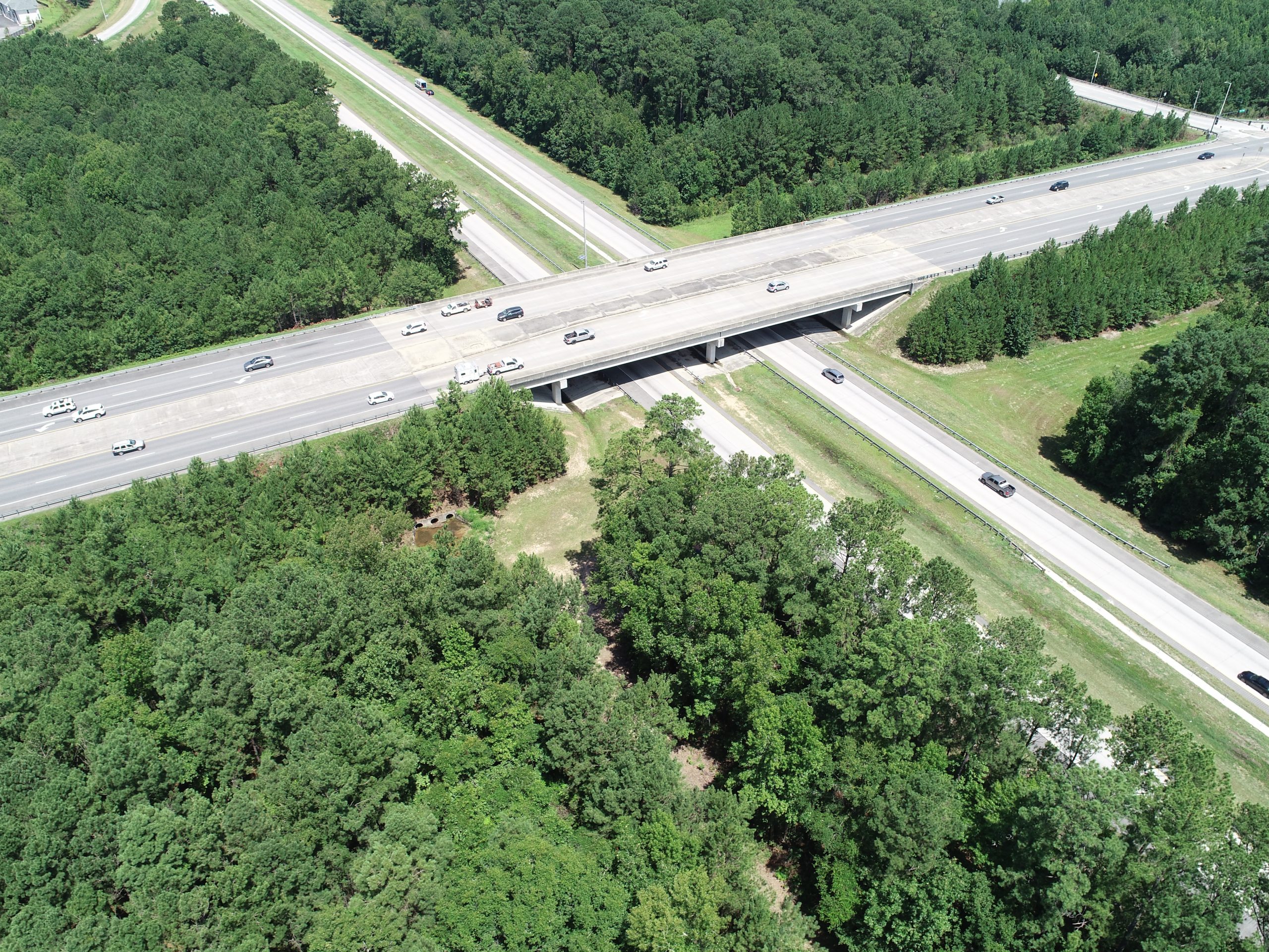
GPS marked photos can be taken at different angles and elevations to detail different perspectives of the worksite.
Contact Us Today To Get Started
CrossFlight Sky Solutions LLC
25 Thurmond Way
#3456
Bluffton, SC 29910
(888) 912-3766
Info@Crossflightskysolutions.Com

UEID: XFX2LH543163
CAGE CODE: 7XUU8
NAICS CODES: 541130, 541370, 54690, 541922, 611699, 611710
Copyright - CrossFlight Sky Solutions - All Rights Reserved
