Construction Progress Monitoring
& Aerial Documentation
Construction progress monitoring is critical data that keep both managers and investors informed that a project is on schedule and within budget. Drones are the perfect tool to reliably and cost efficiently capture all that is happening on the ground and spotting what may be overlooked. CrossFlight's licensed and insured pilots have already saved our clients ten of thousands of dollars in overcharges garnering credibility for project managers adding to profitability.
Photomosaic Imagery
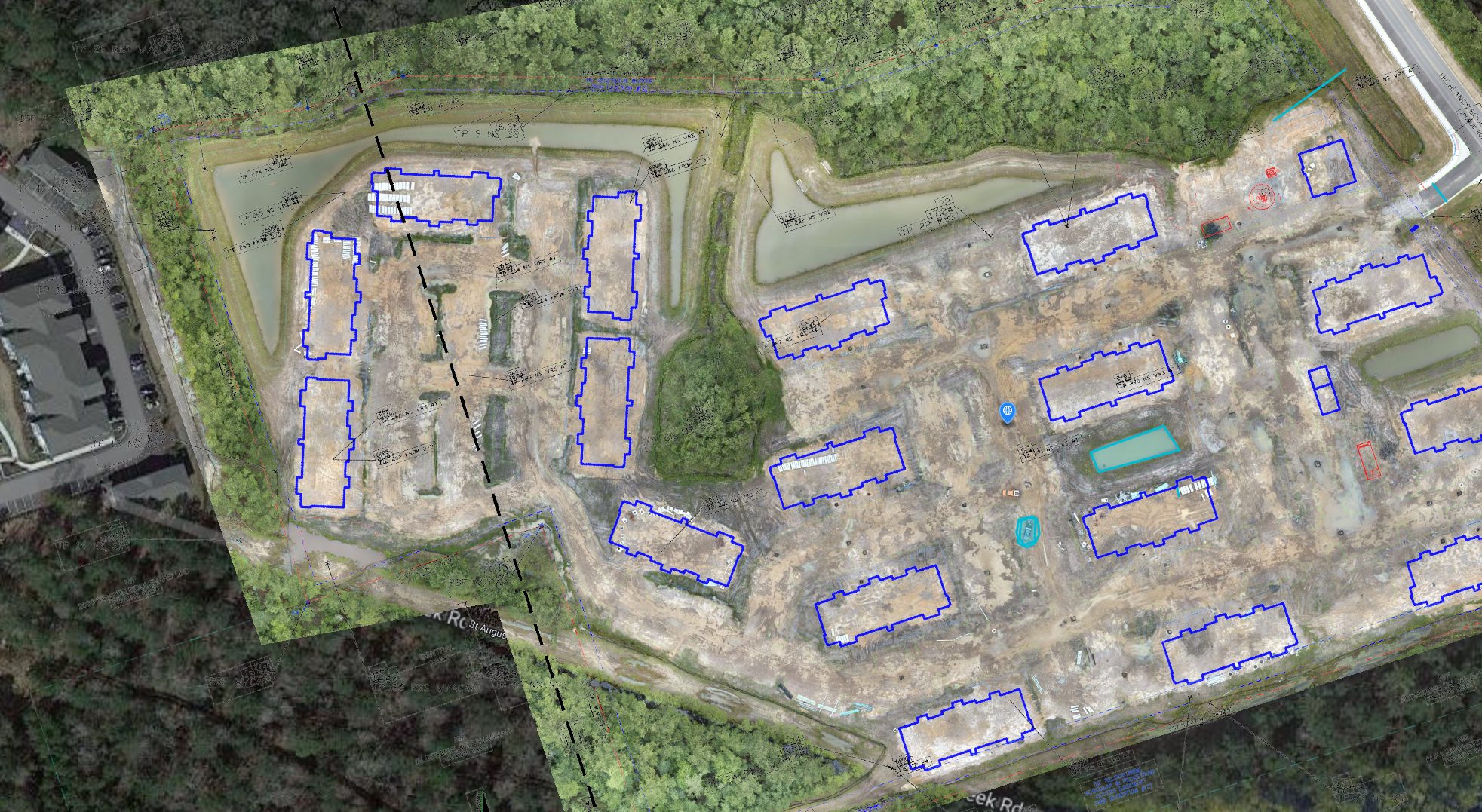
Our most popular and useful product, photomosaic imagery can be used to accurately capture the entirety of a jobsite. This can be repeated as often as needed to report on the progress of a project.
Click on the image or here to view an example.
Site Comparison
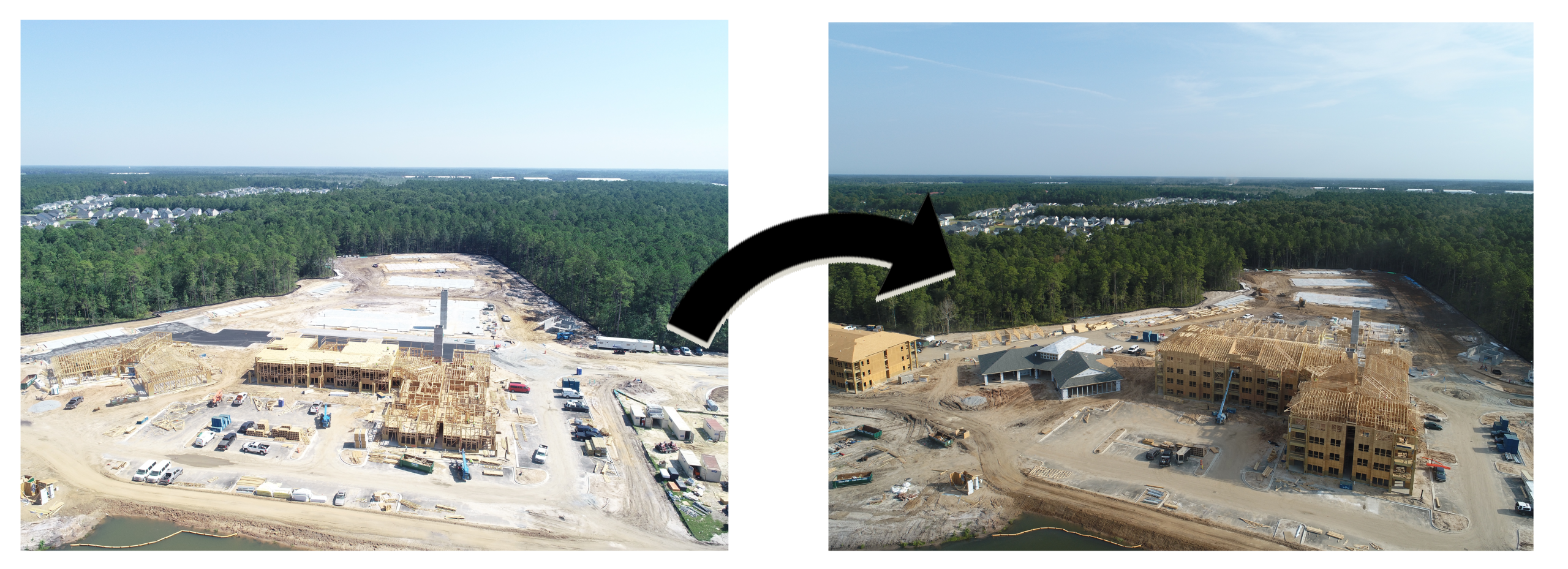
Photomosaic imagery that is captured can be compared side-by-side. This can function as a way of directly comparing the different iterations that are taken and view site progress each update.
Use the slider in the middle of the window to change between the two different iterations and your mouse and scroll wheel to zoom and move around the image.
Geolocated Data and Panoramic Images
Images are geolocated which enables repeatable image capture. Our panoramic images can be taken from a variety of locations and elevations to show specific areas and features of your project.
Use your mouse to move around the panorama and the scroll wheel to zoom in and out.
Overlay CAD Drawings & Ground Control Points
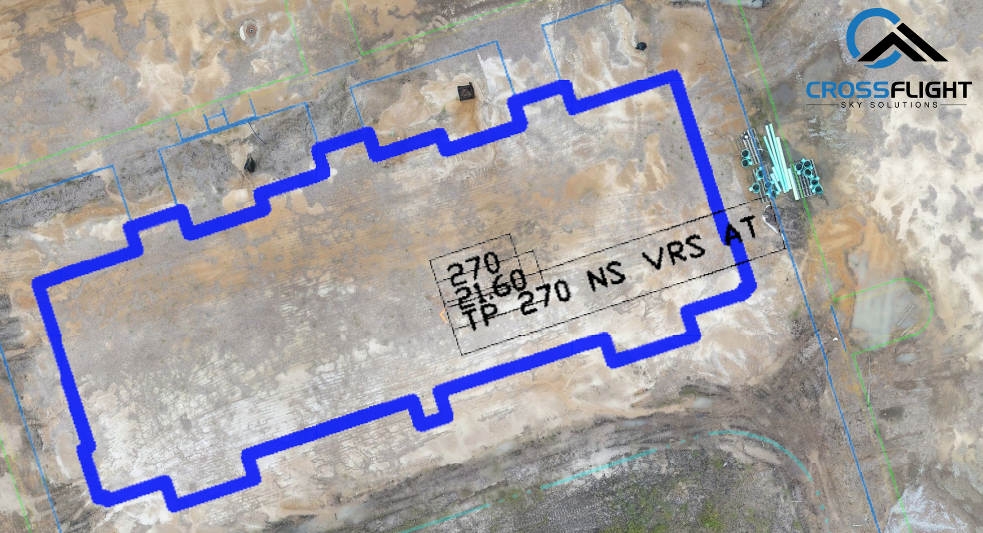
Our imagery can be overlayed with CAD drawings to compare the plans of a construction project to the work being done on site. The documentation is made extremely accurate by the use of ground control points. Ground control points are GPS locations that are marked by our surveying company partners and then imported into our mapping software, making the map that much more accurate.
Photo & Video Plans
All of our visual data is GPS marked for the purpose of accuracy of measurements but also so that data can be repeatedly gathered from the same location. We can set up a photo and video plan that can be repeated reliably so you can better monitor your construction projects.
Pit & Pile Calculations And 3D Modeling
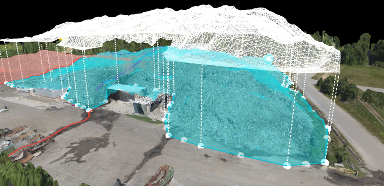
Using the photos and coordinates taken from the aerial data we can extrapolate a 3D point cloud of pits and piles to calculate accurate volumes and acreage for use by licensed professionals. Additionally these point clouds can be exported to create a 3D model of a structure or mass.
Get In Touch, Request A Quote
CrossFlight Sky Solutions LLC
25 Thurmond Way
#3456
Bluffton, SC 29910
(888) 912-3766
Info@Crossflightskysolutions.Com
UEID: XFX2LH543163
CAGE CODE: 7XUU8
NAICS CODES: 541130, 541370, 54690, 541922, 611699, 611710
Copyright - CrossFlight Sky Solutions - All Rights Reserved
