Aerial Imaging and LiDAR Data Collection
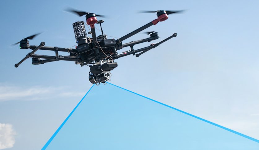
CrossFlight Sky Solutions offers competitive pricing on a wide array of Aerial LiDAR Data Collection products. Aerial LiDAR is the latest in large area data collection and can offer significant time savings over traditional location, volumetric and topographic data collection for use by surveyors and licensed professionals.
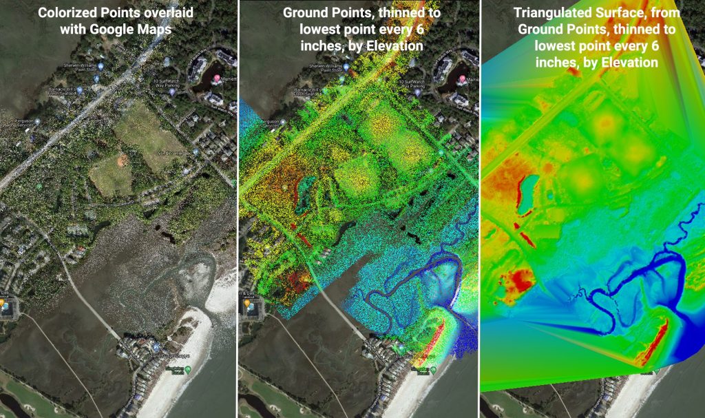
3D Colorized Point Clouds and Topographic Imagery
LiDAR data capture allows for complete site documentation in hours with centimeter accuracy. Reduce your on-site time and increase your capabilities with our aerial LiDAR data capture solutions.
Why CrossFlight? Why LiDAR?

Our highly experienced commercial drone pilots and instructors are lifetime aviation safety professionals and drone experts. With our drone services, you can save up to 80% of on-site time for project documentation and data capture reducing liability and risk.
Contact Us For More Information
CrossFlight Sky Solutions LLC
25 Thurmond Way
#3456
Bluffton, SC 29910
(888) 912-3766
Info@Crossflightskysolutions.Com

UEID: XFX2LH543163
CAGE CODE: 7XUU8
NAICS CODES: 541130, 541370, 54690, 541922, 611699, 611710
Copyright - CrossFlight Sky Solutions - All Rights Reserved
