Golf Course Documentation
Watch this video explanation of the sample deliverable below!
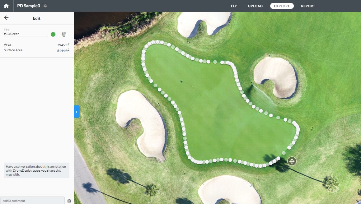
CrossFlight provides highly detailed maps of your entire course! This can serve as an interactive map for your golfers providing accurate elevation and distance measurements. Additionally. we can provide plant health evaluations and 3D models of buildings so you can better maintain your course.
Panoramas
Panoramic images of your golf course are taken from different elevations and locations to properly document your course. These panoramas help identify areas of interest and assist you in many ways including insurance claims. Below is a sample of how these aerial panoramas document your course.
Interactive Map and Models
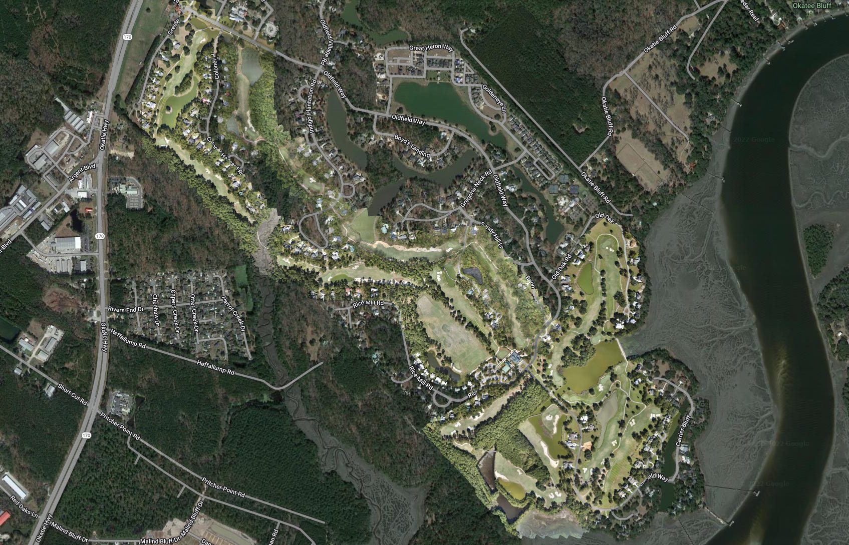
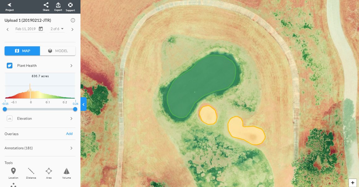
2D Orthomosaic Maps document your entire course and our maps capture detail under one inch per pixel. This is on average 60X more definition than Google Earth provides. Drone maps are also used to evaluate plant health and determine the best treatments for problem areas.
Click on the image or here to view the interactive site map.
Side-By-Side Mapping Comparison
Did your summer treatment program work? Find out if your turf management program was effective this year by using our comparison slider below.
October 14 Compared to February 11
Videos
CrossFlight's imagery is unsurpassed in its fidelity and precision. Along with our mapping products we document your course using 360 video and aerial video for marketing or insurance purposes. Below is an example of how our video solutions can show off and document your course.
360 Video Of Hole
Drone Video Of Hole
Cloud Based Data Storage & Delivery
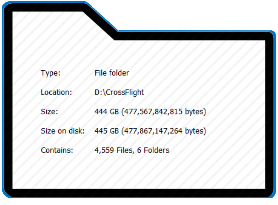
It's your data and we want to make it available to you! Your data is stored in a Google Drive format and available for you to download 24/7.
A Link To Your Data Will Be Here
(Omitted for the purpose of this sample)
Get in Touch, Request a Quote
CrossFlight Sky Solutions LLC
25 Thurmond Way
#3456
Bluffton, SC 29910
(888) 912-3766
Info@Crossflightskysolutions.Com

UEID: XFX2LH543163
CAGE CODE: 7XUU8
NAICS CODES: 541130, 541370, 54690, 541922, 611699, 611710
Copyright - CrossFlight Sky Solutions - All Rights Reserved
