Home Owner and Community Documentation
Document Your Property Before The Storm Hits
Plan ahead and document your biggest investment. CrossFlight's fully insured and FAA Certified pilots will capture and catalog your property using 4K video, 360 degree panoramic or still photographs for use by insurance adjustors or for your peace of mind. Prices start at less than $200.
Pre and Post Hurricane Inspection
Document Your Property Before a Natural Disaster
When hurricane season is in full swing, in addition to traditional insurance, have you thought about other ways to make sure your investments are protected? You've invested so much in your community and personal property wouldn't it be great to have it all documented in one place. Not having aerial property documentation before a storm hits may be the deciding factor in your insurance claim. Whether it is quarterly or annually, CrossFlight makes sure that when disaster strikes you are prepared.
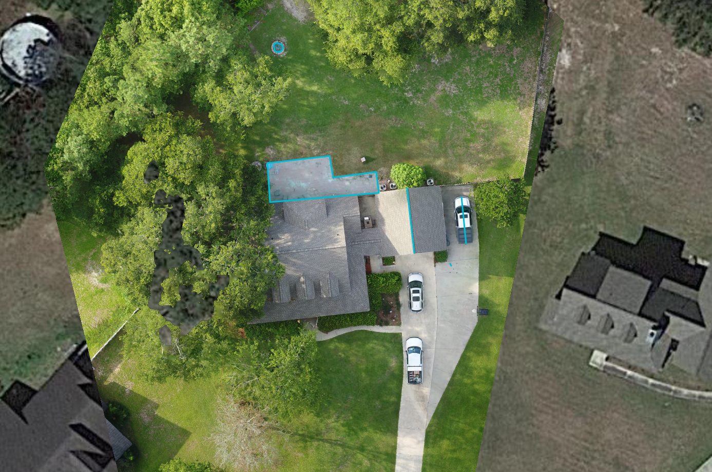
Our maps document your entire property with accuracy and detail. Property measurements (i.e. areas, lengths, volumes, etc) are provided from the map using GPS marked locations.
Click on the image or here to view the interactive site map.
Photo Plan of Property Corners
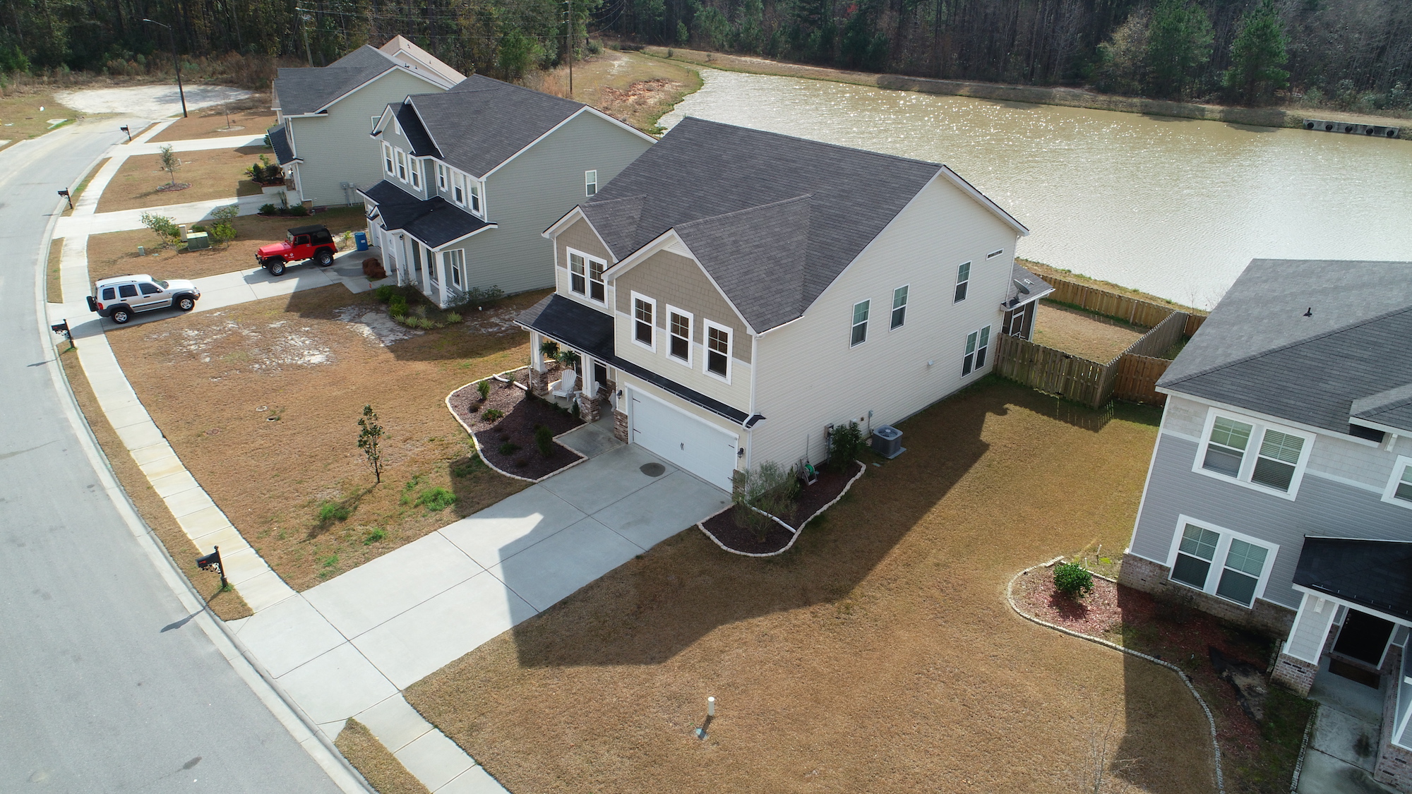
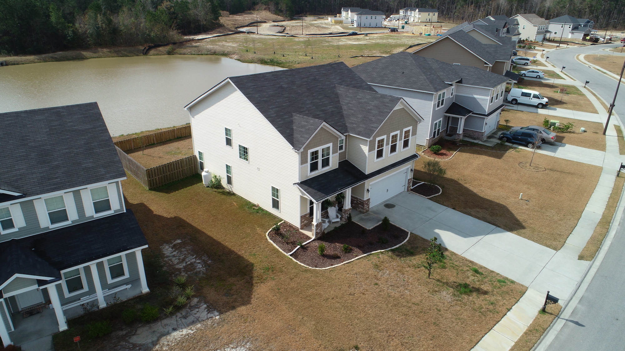
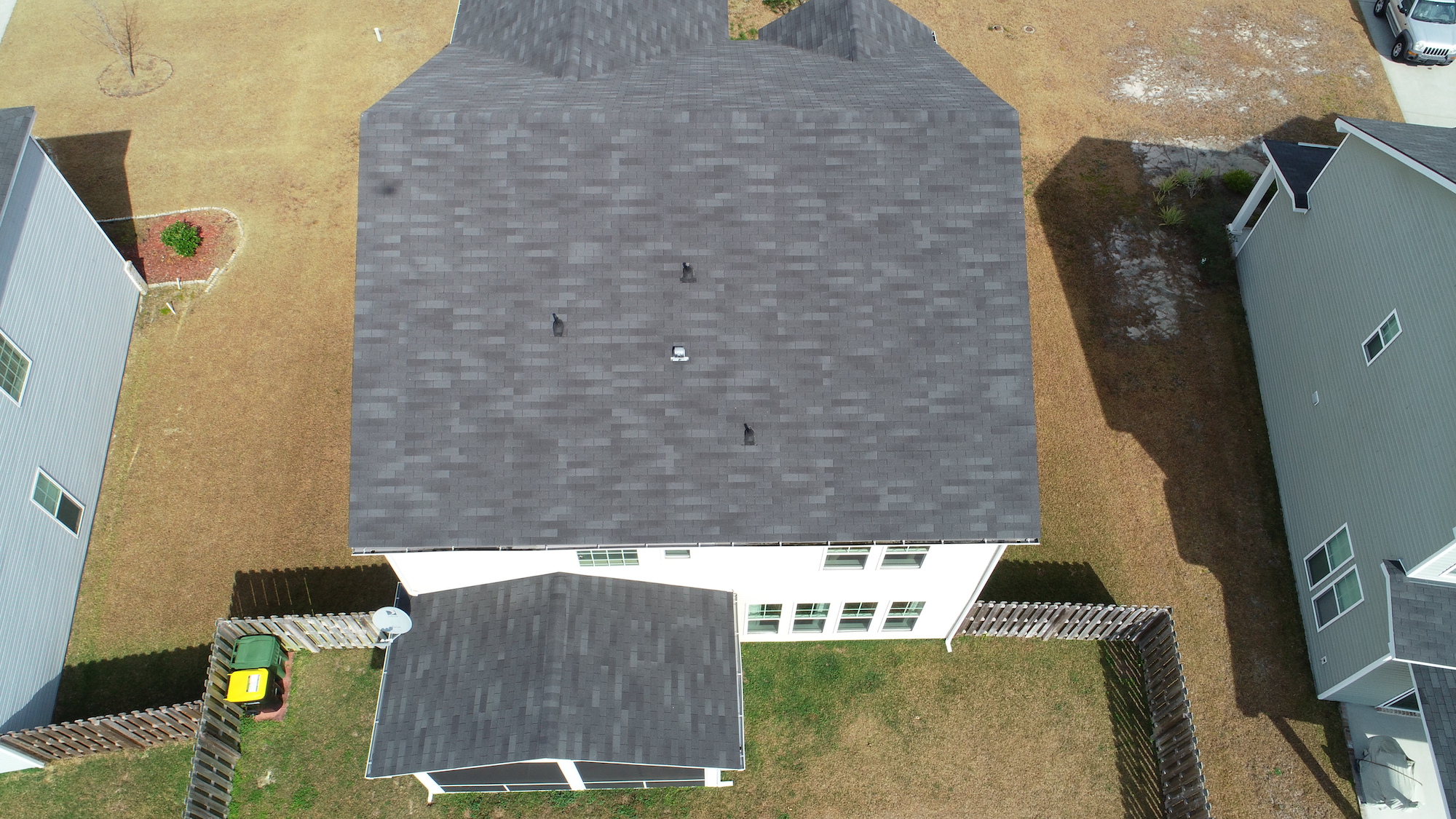
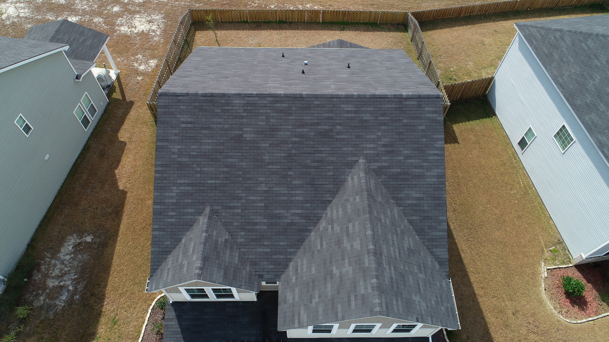
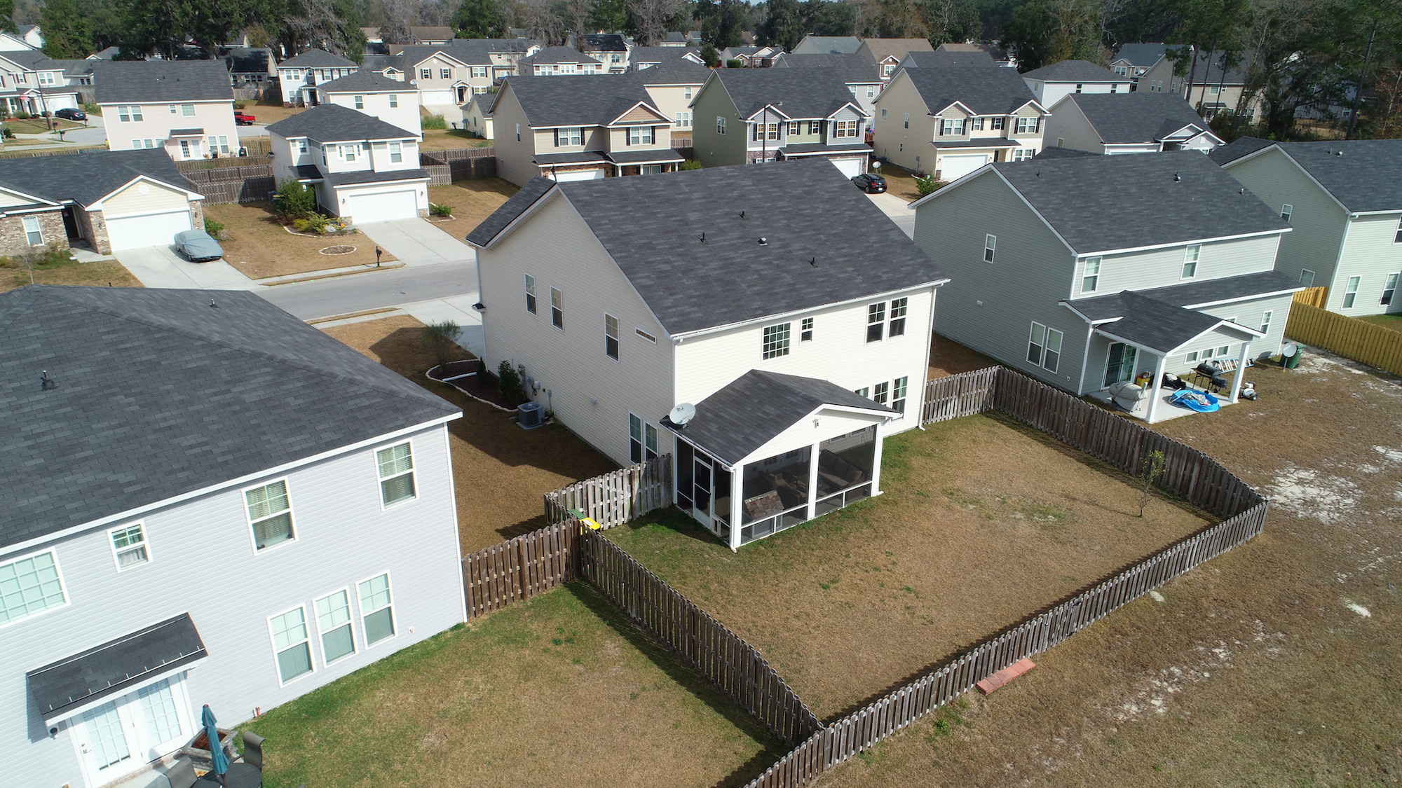
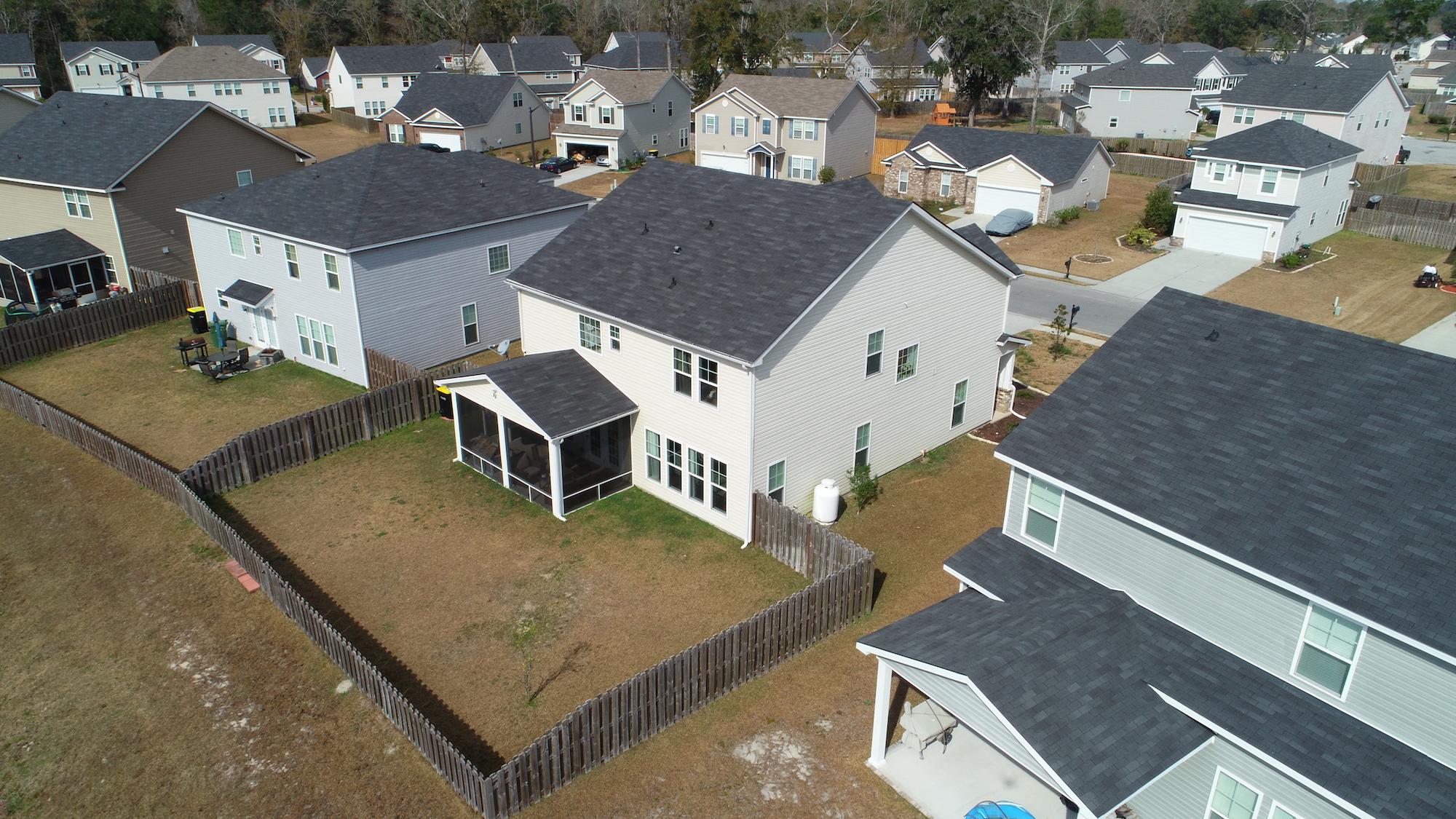
Full Property Documentation

Exclusive offer for HOAs/POAs and Homeowners.
Hurricanes are a yearly threat!
Not having aerial property documentation before a storm hits may be the deciding factor in your insurance claim!
CONTACT US TO REQUEST A QUOTE OR ASK ANY QUESTIONS!
Start Elevating Your Perspective Today
CrossFlight Sky Solutions LLC
25 Thurmond Way
#3456
Bluffton, SC 29910
(888) 912-3766
Info@Crossflightskysolutions.Com

UEID: XFX2LH543163
CAGE CODE: 7XUU8
NAICS CODES: 541130, 541370, 54690, 541922, 611699, 611710
Copyright - CrossFlight Sky Solutions - All Rights Reserved
