Evans General Contractors
Cushman & Wakefield Locust Grove
This page is a sample of what we can supply to your projects! All of the videos, photos, panoramas, and maps can be repeated exactly the same on a regular basis to monitor progress. We can also pull measurements from our maps and calculate pit and piles and much more.
Thank you for the opportunity to earn your business!
Interactive Map
Click the image above or here to view the interactive map.
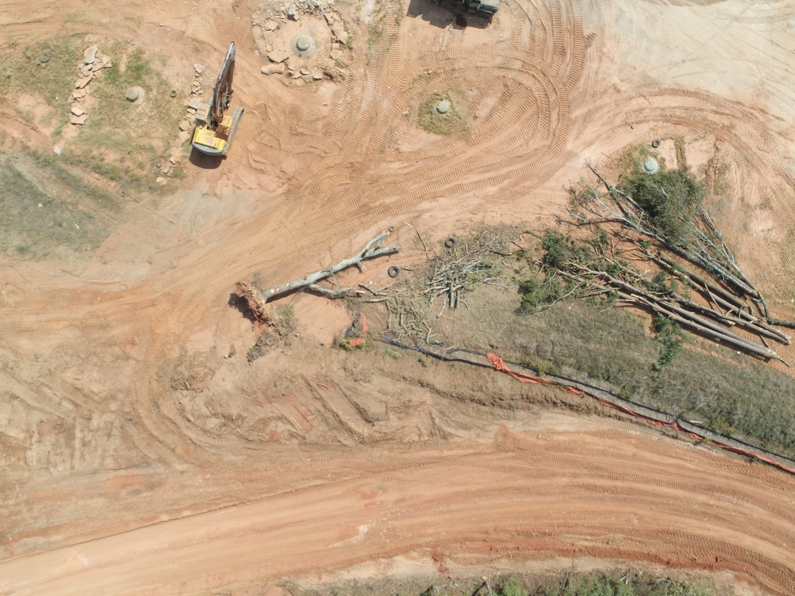
The following are samples from other construction sites of what we can provide to you.
Panoramas
Video Log
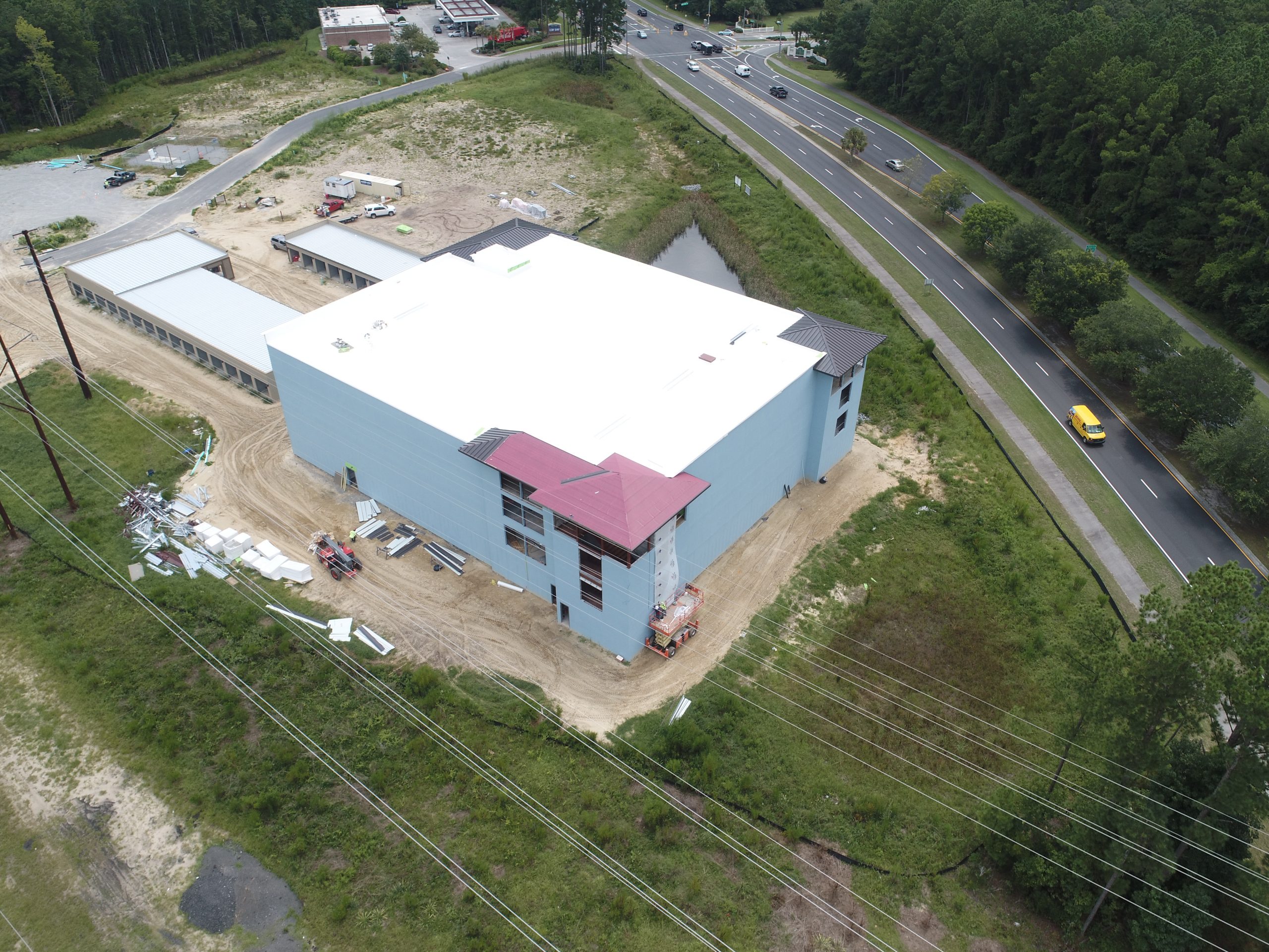
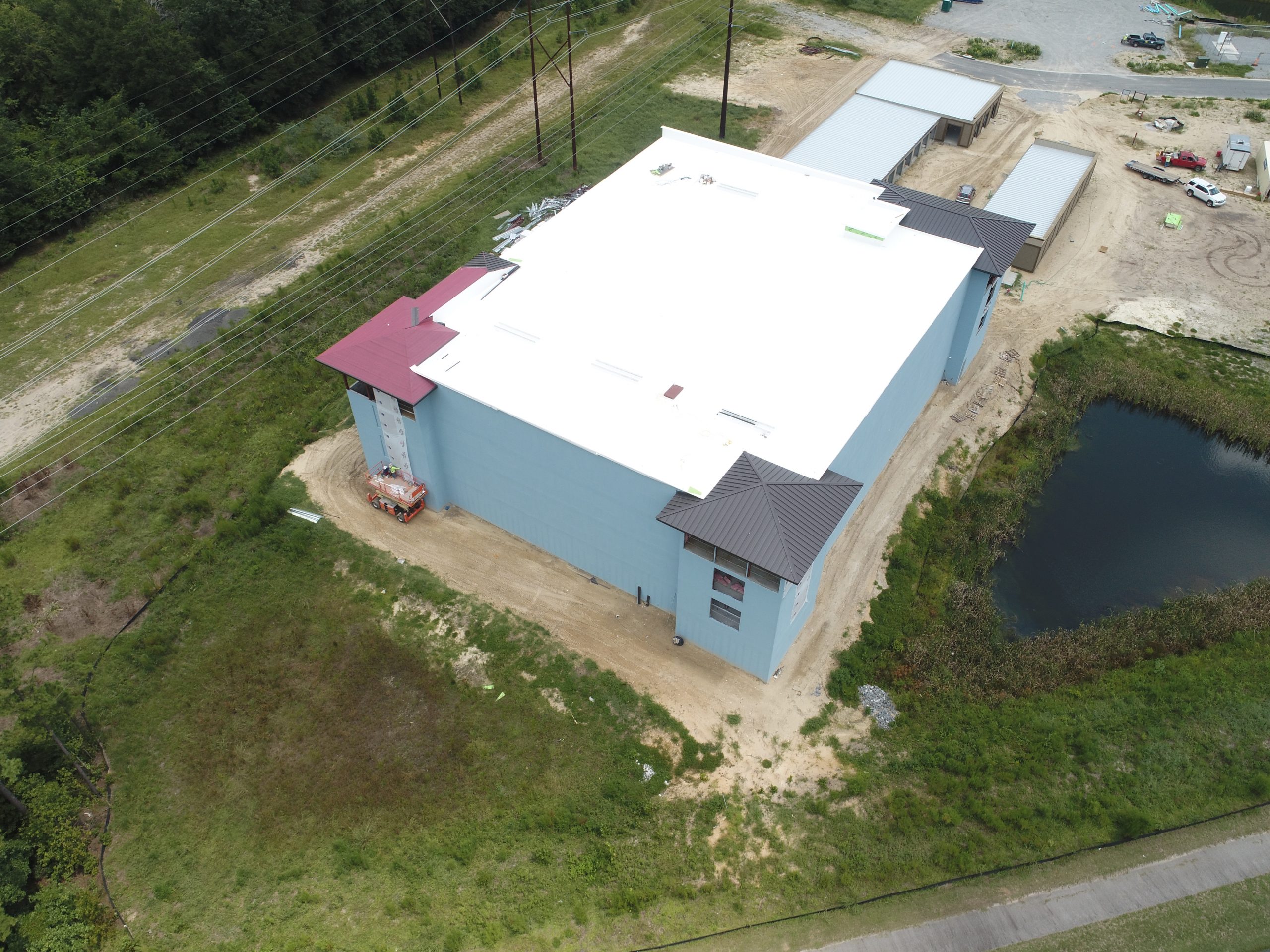
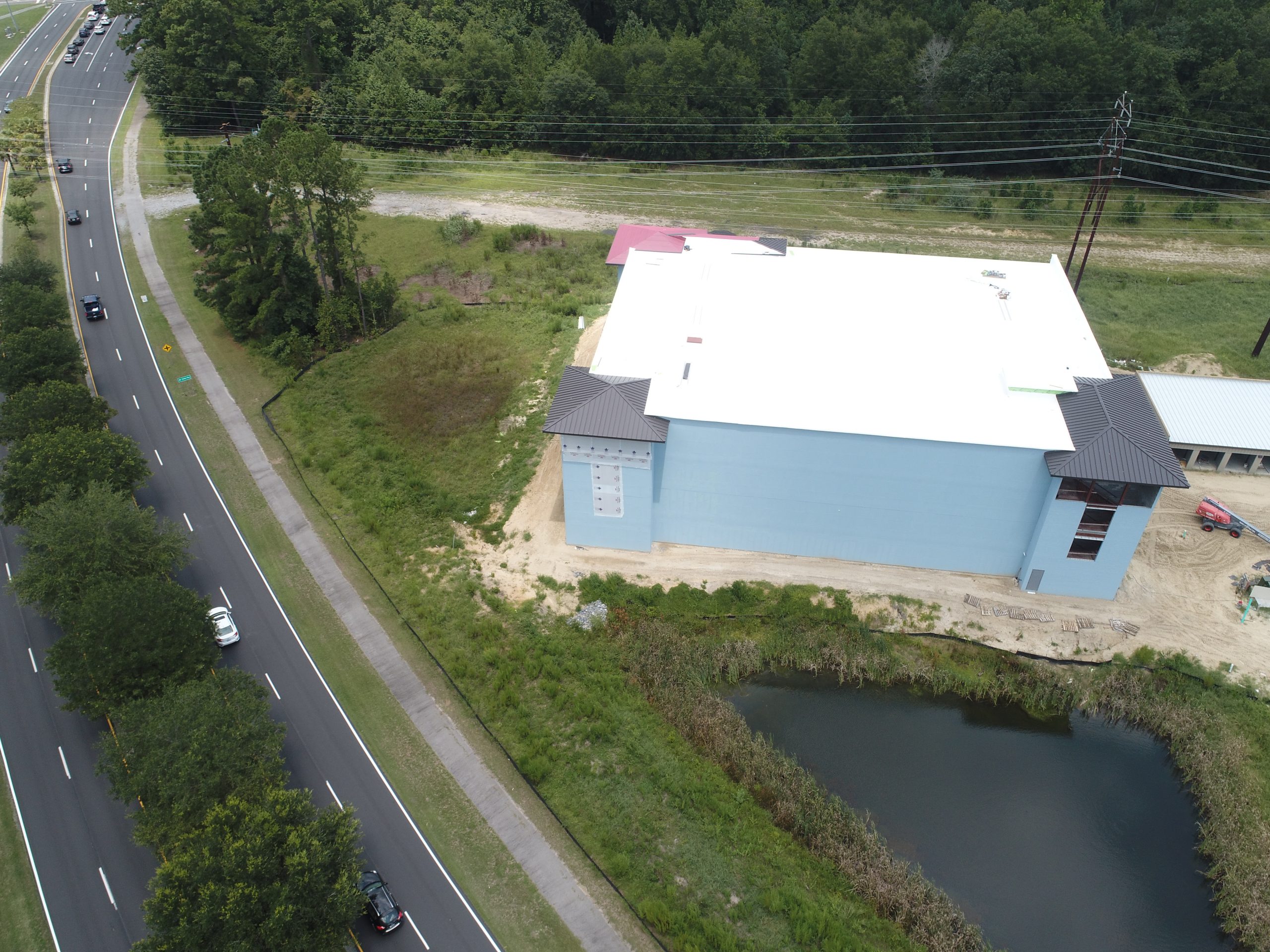
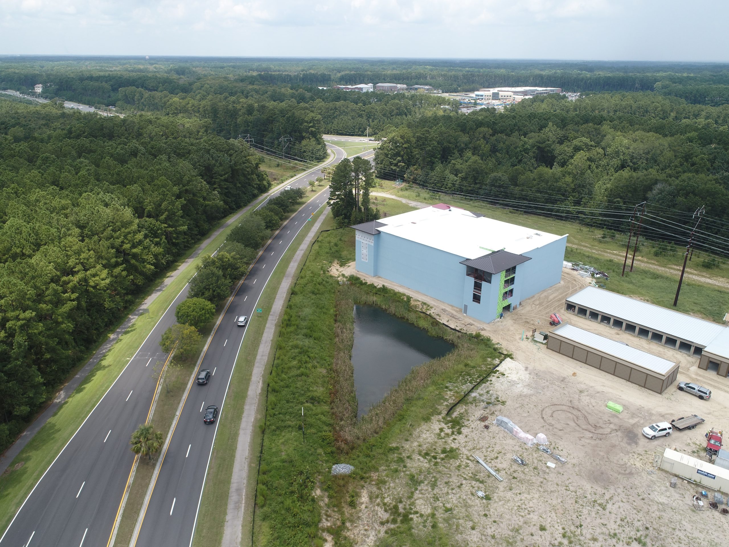
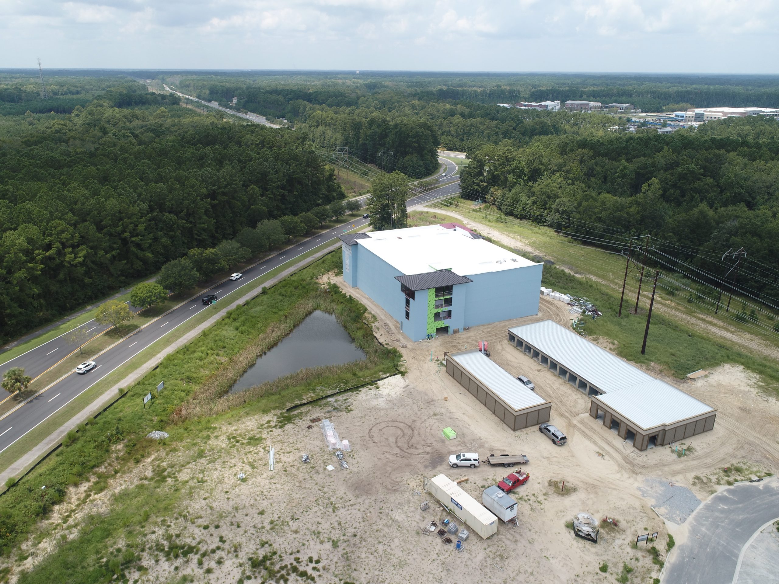
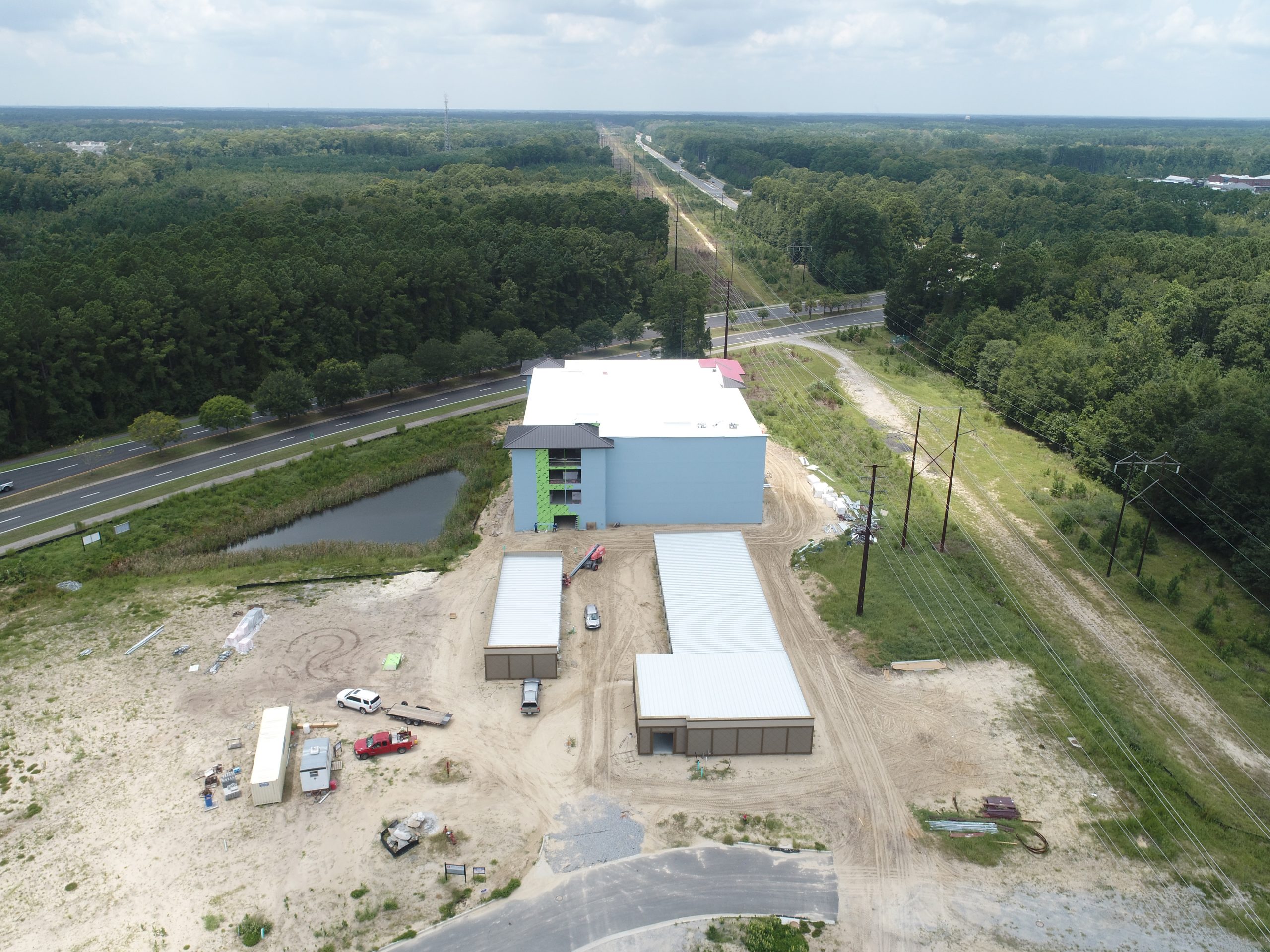
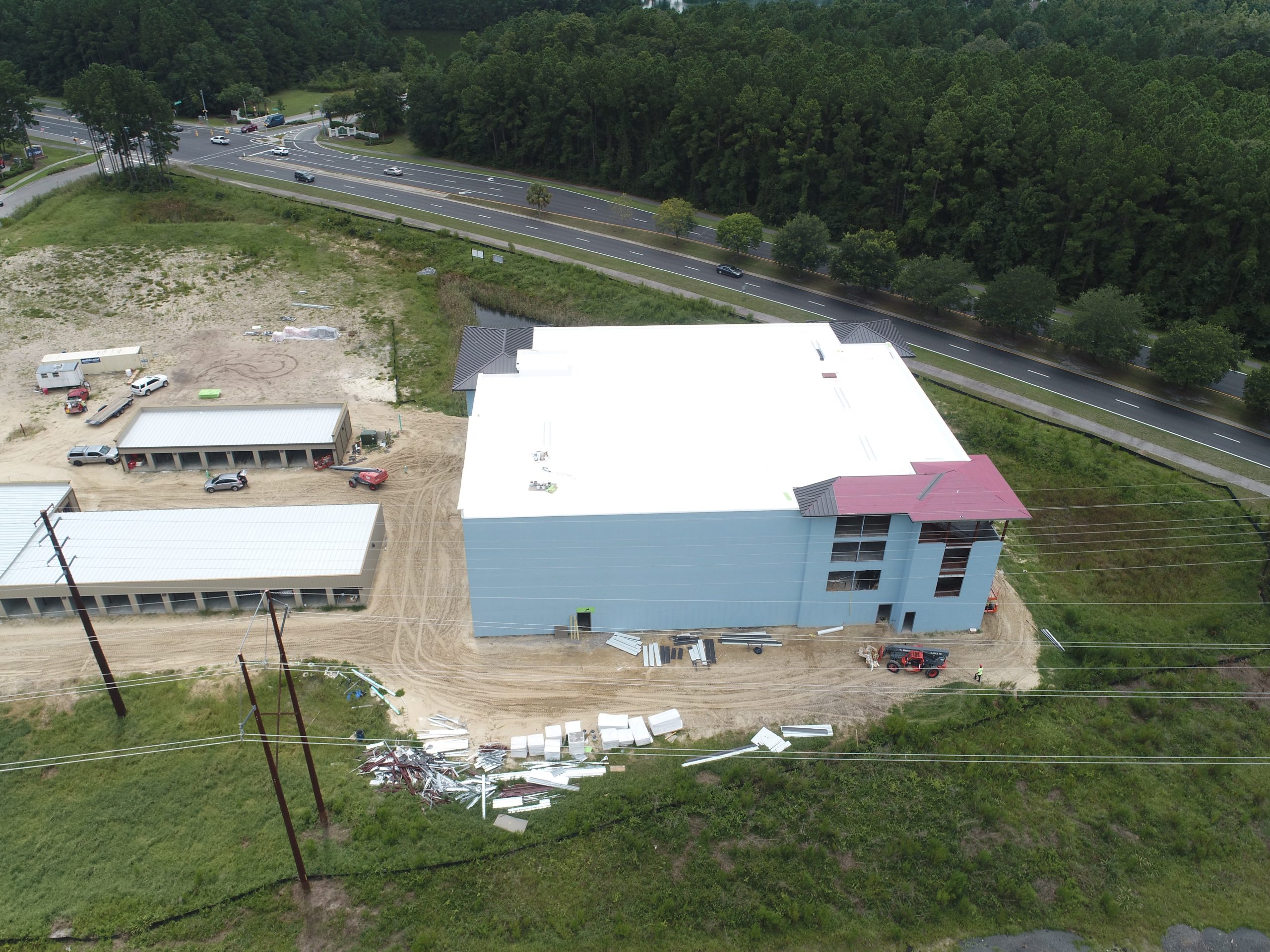
Photo Plan
These images are captured using GPS marked locations. We can reproduce these images every time we are on site so that you can see the progress being made from the exact same angles.
Click On Image To Enlarge

Contact Us Today!
CrossFlight Sky Solutions LLC
25 Thurmond Way
#3456
Bluffton, SC 29910
(888) 912-3766
Info@Crossflightskysolutions.Com

UEID: XFX2LH543163
CAGE CODE: 7XUU8
NAICS CODES: 541130, 541370, 54690, 541922, 611699, 611710
Copyright - CrossFlight Sky Solutions - All Rights Reserved
